MAPS
Maps
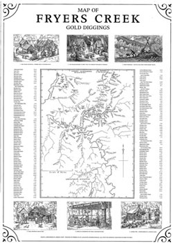
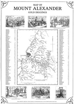
These two illustrated maps depict the two main parts of the Forest Creek Diggings: Mount Alexander and Fryers Creek. Compiled from many different early maps and stories they give original diggers names to the various creeks, flats, hills and other features of the goldfields. Names such as Murdering Flat, Bung-eye Gully and Nuggetty Creek evoke an image of life on the diggings as one of tragedy and elations depending on your luck.
Superbly illustrated with sketches of life on the diggings by Andrew Swift they are a must for anyone researching families who once lived in places such as these on the goldfields.

